Weather Arlberg
Weather forecast
Winds from the South will bring more humid maritime air to our region on Sunday. It will not be humid enough to keep the sun from shining, but it will produce locally heavy showers and thunderstorms.
On Monday the weather will become increasingly stable. The sun will be seen often and showers and thunderstorms will become less frequent. We will then get sunny and dry weather from Tuesday for several days.
Monday, 03.08.2026

28°C/82°F
80%
4500m
Tuesday, 04.08.2026

30°C/86°F
90%
4600m
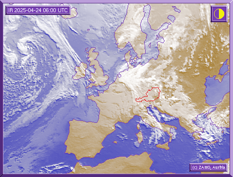
Satellite picture
On the satellite photograph you can see the extended-range weather situation over Europe. The picture shows how the weather will develop in the next hours. If you are planning a ski tour or an off-piste excursion, please observe the developing weather situation on our satellite picture.
Here you can recognise important information on the extended-range weather situation and study the development of bad weather fronts. It is also important not to forget to seek further vital information about the avalanche warning stages before you undertake a trip into the backcountry!